Sunday, September 30, 2018

Chickahominy Historic Flood of 2004

This is what it looks like when the Providence Forge Gage is showing 12' 6".


Photos from (180 dramatic weather photos from the RTD archives. (2018, August 08). Retrieved from https://www.richmond.com/weather/dramatic-weather-photos-from-the-rtd-archives/collection_d1fe524c-9b15-11e8-bce7-2395eaa05012.html#1)

Cost of Virginia Flooding


Floods of the Chicahominy Watershed

https://water.weather.gov/ahps2/hydrograph.php?wfo=akq&gage=ckhv2
As indicated by the chart above the current water levels are at about 5.5 ft. at the Providence Forge water Gage. This chart also depicts that the water is not considered flooding until it reaches 10 ft. There has been multiple floods occurring since the 40s with the record flood level happening in 2004 with the Gage recorded 12' 6".
Providence Forge Gage House, US Department of Commerce, & NOAA. (n.d.). National Weather Service Advanced Hydrologic Prediction Service. Retrieved September 30, 2018, from https://water.weather.gov/ahps2/hydrograph.php?wfo=akq&gage=ckhv2


Top 20 Historic Crests
(1) 12.58 ft on 09/01/2004
(2) 11.67 ft on 08/15/1955
(3) 11.29 ft on 05/20/2018 (P)
(4) 10.99 ft on 02/27/1979
(5) 10.95 ft on 09/17/1999
(6) 10.79 ft on 07/25/1969
(7) 10.62 ft on 09/22/2003
(8) 10.60 ft on 07/21/1945
(9) 10.36 ft on 09/09/2011
(10) 10.32 ft on 11/15/2009
(11) 10.26 ft on 03/30/1984
(12) 10.07 ft on 06/25/1972
(13) 10.04 ft on 11/19/2006
(14) 9.88 ft on 03/06/1994
(15) 9.86 ft on 04/24/2008
(16) 9.84 ft on 03/22/1998
(17) 9.84 ft on 09/30/2016
(18) 9.79 ft on 09/05/2006
(19) 9.78 ft on 07/17/1975
(20) 9.76 ft on 08/22/1985
20 Most Recent Crests
(1) 11.29 ft on 05/20/2018 (P)
(2) 9.84 ft on 09/30/2016
(3) 9.59 ft on 12/27/2015
(4) 9.57 ft on 05/03/2014
(5) 8.63 ft on 06/14/2013
(6) 8.89 ft on 01/19/2013
(7) 10.36 ft on 09/09/2011
(8) 9.19 ft on 08/29/2011
(9) 10.32 ft on 11/15/2009
(10) 9.13 ft on 12/15/2008
(11) 9.86 ft on 04/24/2008
(12) 10.04 ft on 11/19/2006
(13) 9.79 ft on 09/05/2006
(14) 12.58 ft on 09/01/2004
(15) 10.62 ft on 09/22/2003
(16) 6.78 ft on 05/15/2002
(17) 9.03 ft on 04/03/2001
(18) 9.00 ft on 04/19/2000
(19) 10.95 ft on 09/17/1999
(20) 9.84 ft on 03/22/1998
US Department of Commerce, & NOAA. (n.d.). National Weather Service Advanced Hydrologic Prediction Service. Retrieved September 30, 2018, from https://water.weather.gov/ahps2/hydrograph.php?wfo=akq&gage=ckhv2

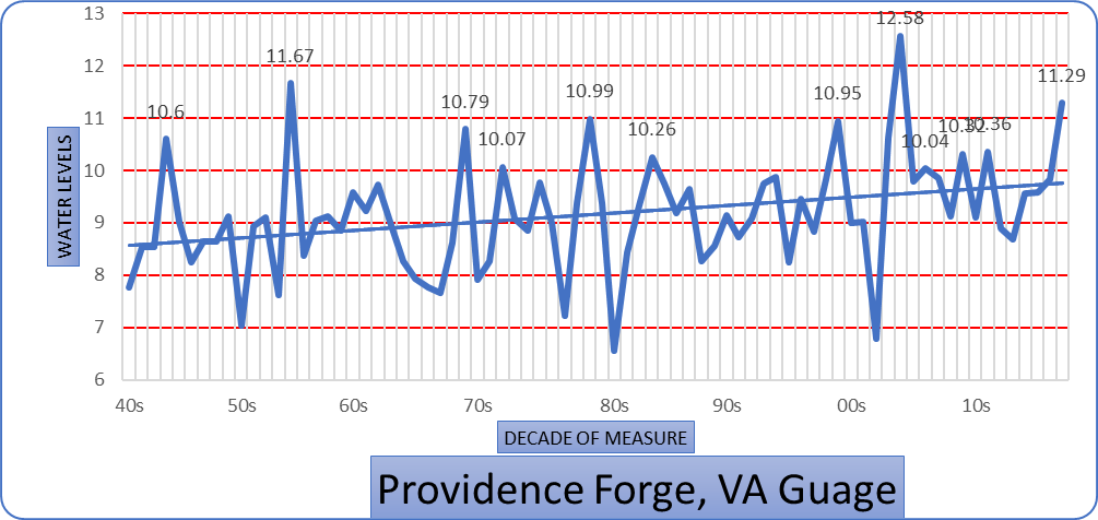
Looking over these numbers it may it difficult to see if there were any trends. So I created the chart below to be able to better demonstrate an increasing amount of flood trends over the previous 20 years. Looking at the chart below you can see a steady increase in the levels of water and an increase in the 10ft flood levels. From 1999 to present day there were 6 floods compared to 6 in the previous 50 years. For this chart I only looked at the events that recorded 9 ft or greater. 


Thursday, September 27, 2018

Special Characteristics and Features

This watershed was named after Native Americans which can still be found throughout the Chickahominy Watershed. The word Chickahominy means "course pounded corn people" (VA DEQ, n.d.).  This tribe of Native Americans are also credited with the capture of CPT John Smith. After his capture CPT Smith was turned over to Chief  Powhatan, whose daughter then begged for his life to be spared (VA DEQ, n.d.).  The rest is history, with the survival of the early settlers depending on this lasting relationship. 

The Chickahominy Watershed is facing many of the same problems as other watersheds. Growth of urban areas are spreading into the previously rural areas, such as Mechanicsville, in Hanover County. The urbanization of areas such as this is causing an increase in pollutants from runoff. Urbanization and the population is also causing an additional strain by an increase in water usage.  

The watershed winds through extensive wetlands that includes cypress swamps before turning into the Chickahominy Lake (VA DEQ, n.d.). Chickahominy Lake is a man made lake impounded by Walker's Dam in order to provide drinking water to the Newport News population. 

Once the water flows from the upper one-third area it then relaxes as it makes it way through the bottom two-thirds where there is less development. The surrounding areas of the lower two-thirds that is predominantly covered in forest. 

As the water leaves Walker's Dam the river becomes tidal (VA, DEQ, n.d.) as it flows through thousands of acres of marsh before joining the James River.


VA DEQ. (n.d.). Chickahominy River Watershed-1. Retrieved September 18, 2018, from https://www.deq.virginia.gov/Portals/0/DEQ/ConnectWithDEQ/EnvironmentalInformation/VirginiaNaturally/k12ed/FactSheets.pdf


Saturday, September 22, 2018

Dendrology

Dendrology

Dendrology: "also called forest dendrology or xylology, study of the characteristics of treesshrubslianas, and other woody plants" Link


According to Virginia Tech's Dendrology data base there are 244 different species of woody plants in the Chickahominy River Watershed. 

Some of the more prominent species include more than 6 species of Maple that include the Florida Maple, Boxelder Maple, Red and Silver Maple, Norway Maple* and the Sycamore Maple*.

*Non-Native


Red Maple Tree Facts
https://gardenerdy.com/red-maple-tree-facts
The watershed also contains multiple species of Hickory that includes the Water, Bitternut, Pignut, Pecan, Red, Sand, and Mockernut Hickory.

                                                     https://gardenerdy.com/hickory-tree-identification


There are also two species of the Dogwood, the Silky and the Flowering (the official tree/flower of the State of Virginia.

White Flowering Trees
                                                                   https://gardenerdy.com/white-flowering-trees


Another species located within the watershed is the Ash which includes the White, Carolina, Pumpkin, Green and the European Ash*.

*Non-Native
What to Do if Ash Trees are Infested with Emerald Ash Borer?
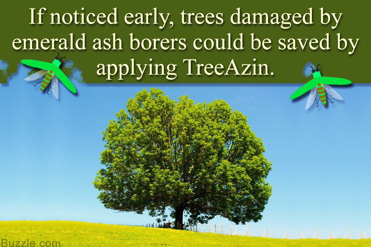
       https://gardenerdy.com/what-to-do-if-ash-trees-are-infested-with-emerald-ash-borer

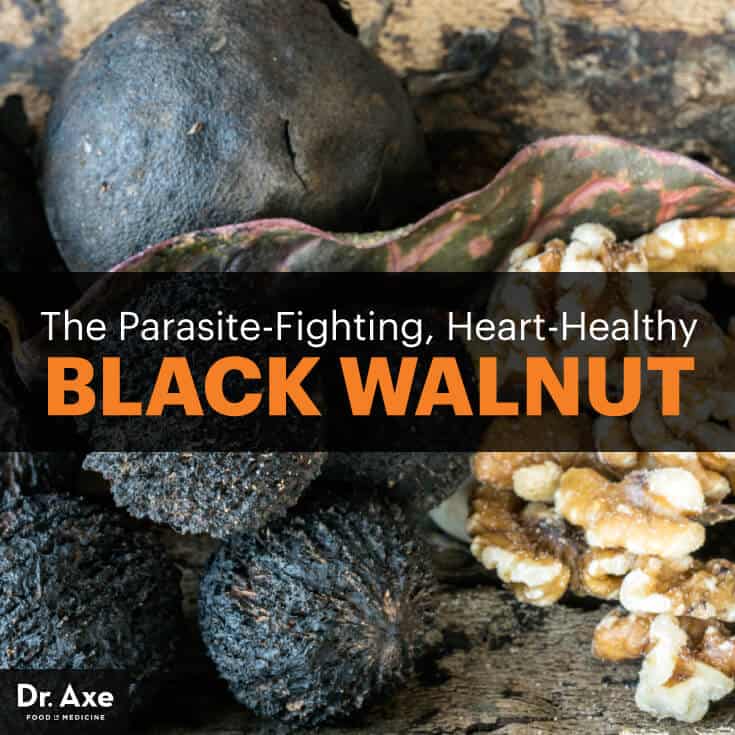
Another tree, with many uses,  located within the watershed is the Black Walnut.

Black walnut - Dr. Axe
                                                                          https://draxe.com/black-walnut/


Another popular tree with a popular scent are the Pine Trees. There are several species of pines that includes the Shortleaf, Pond, Loblolly, and the Virginia Pine. 

https://gardenerdy.com/how-fast-do-pine-trees-grow
                                                   https://gardenerdy.com/how-fast-do-pine-trees-grow


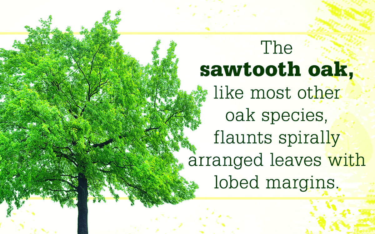
Another very numerous tree with many subspecies is the Oak. Some of the subspecies that can be found are the Sawtooth, White, Swamp White, Scarlet, Southern Red, Bluejack, Laurel, Overcup, Sand Post, Blackjack, Swamp Chestnut, Chinkapin, Water, Pin, Willow, Northern Red, Shumard, Post and Black Oak,

                                               https://gardenerdy.com/how-to-grow-sawtooth-oak-trees

The Elm Tree is another species located in the watershed. Some of the subspecies include the Winged, American, Chinese*, Field*, Siberian* and Slippery*.

                                                     http://www.cityoforlando.net/trees/streettrees/

Sunday, September 16, 2018

Tributaries

Some of the tributaries include Crumps Swamp, Allens Run, Schiminoe Creek, Jones Run, Stony Run, Collins Run, Dockman Swamp, Tonyham Swamp, Browns Creek, Little Creek, Shipyard Creek, Yarmouth Creek, Parsons Creek and many other smaller unnamed waters.

Some Characteristics

The total area of the Chickahominy River Watershed is about 179 407.8 square miles or about 261,000 acres.  Starting just northwest of Quinton Richmond, Va the watershed empties into the James River. The highest point of elevation I could find is around the Quinton area with an elevation of 152 feet above sea level. Where the watershed empties into the James River the elevation is about 5 feet below sea level. The watershed contains multiple bodies of water that include the Chickahominy River, the Little Creek Reservoir, the Diascund Creek Reservoir, Old Forge Pond, Kent Lake, the Toe Ink Swamp and Tom Brooks Lake. The map I originally drew did not encompass the entire watershed. Updated information from: https://www.deq.virginia.gov/Portals/0/DEQ/ConnectWithDEQ/EnvironmentalInformation/VirginiaNaturally/k12ed/FactSheets.pdf shows a much larger watershed than I had drawn. 


Old Forge Pond

Alluvial Soils

(n.d.). Retrieved from https://ngmdb.usgs.gov/ngm-bin/pdp/zui_viewer.pl?id=13063 (n.d.). Retrieved from https://ngmdb.usgs.gov/ngm-bi...